AG2PI Workshop #22 - Tuesday June 20, 2023
Enhancing Discoverability and Accessibility of UAV-Based Forage Phenotyping Hyperspectral Data on CyVerse: A Tutorial
Tuesday June 20, 2023
10:00 - 11:00 AM
(US Central Time)
Purpose
Demonstrate how to publish agricultural geospatial data on a data sharing platform.
Registration
Register for the virtual event by clicking the link below. Upon registration, you will receive a confirmation email with information about joining the meeting
Workshop RegistrationWorkshop Resources
Click the buttons below to access resources and/or watch recording of this workshop
Watch Workshop RecordingEnhancing the discoverability of agricultural geospatial data products is vital in facilitating decision-making processes, nurturing collaboration, propelling rapid advancements in research and innovation, and championing the values of open science. This workshop introduces an exhaustive tutorial, designed to boost the discoverability and accessibility of UAV-based phenotyping data through the NSF CyVerse Data Commons platform. Despite the platform's robust capabilities, user engagement is often limited by the complexity of the data publishing procedures. To address this issue, we used a forage hyperspectral dataset from our latest high-throughput phenotyping research on maize silage yield and nutritive values as the basis to create a clear, step-by-step guide for publishing extensive agricultural geospatial data on CyVerse. With this tutorial, we aspire to augment the discoverability of geospatial data products, stimulate collaborative research, and hasten progress in sustainable agricultural practices.
** This workshop is a product of an AG2PI seed grant **
View AG2PI Funded Seed GrantAbout Presenters
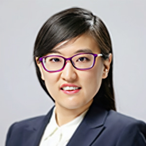
Dr. Zhou Zhang is an Assistant Professor in Biological Systems Engineering in College of Agriculture and Life Science at the University of Wisconsin-Madison. She received her B.S degree in astronautics engineering and M.S. degree in instrumentation science and opto-electronics engineering from Beihang University, Beijing, China. She received her Ph.D. in geomatics, civil engineering at Purdue University, USA. Her research interests include satellite remote sensing), drone-based imaging platform developments for precision agriculture, multi-source remote sensing data fusion, artificial intelligence and machine learning in agricultural applications.
